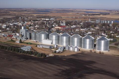
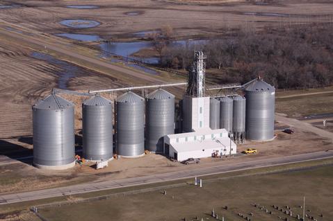
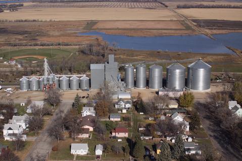
Farmers Coop Elevator Lidgerwood-Geneseo Thursday, July 10, 2025
 
Home
Calendar
Contact Us
Cash Bids
Address/Phone
Blogs and Forums
North Plant
South Plant
Geneseo Plant
Grain Discounts
Storage Program
  
State Forecast for Lidgerwood , ND
Change Zip Code: 
 
651
FPUS63 KFGF 102359
SFTND
FPUS63 KFGF 102359
SFTND
NDZ001>054-111000-
Tabular State Forecast for North Dakota
National Weather Service Grand Forks ND
659 PM CDT Thu Jul 10 2025
ROWS INCLUDE...
Daily predominant daytime weather 6AM-6PM
Forecast temperatures...early morning low/daytime high
Probability of precipitation nighttime 6PM-6AM/daytime 6AM-6PM
- indicates temperatures below zero
MM indicates missing data
 
FCSTFCSTFCSTFCSTFCSTFCSTFCST
FriSatSunMonTueWedThu
Jul 11Jul 12Jul 13Jul 14Jul 15Jul 16Jul 17
Bismarck
PtcldySunnySunnyPtcldyMocldyPtcldyPtcldy
63/7552/8260/8962/8959/7352/7150/75
10/2000/0000/0000/1040/4030/2010/10
Bottineau
SmokePtcldySunnyPtcldyMocldyPtcldyPtcldy
59/7050/8157/8558/8154/7047/7047/75
40/4030/1000/0020/3040/4020/2010/10
Devils Lake
SmokeSunnySunnyPtcldyMocldyPtcldyPtcldy
64/7655/8161/8862/8459/7252/7152/75
20/3010/1000/0010/2030/3030/1010/10
Dickinson
PtcldyPtcldySunnySunnyShwrsPtcldyPtcldy
57/7350/8458/9061/8754/6847/6947/75
30/3010/0000/0000/1050/5030/3010/10
Fargo
PtcldySunnySunnyPtcldyShwrsMocldyPtcldy
69/8457/8061/8962/8862/7855/7252/75
20/4020/1010/1010/2040/5050/2020/10
Grand Forks
SmokeSunnySunnyPtcldyMocldyMocldyPtcldy
66/8255/8260/9160/8760/7752/7250/76
20/4020/1010/0010/2040/4040/1010/10
Hettinger
PtcldySunnySunnySunnyShwrsPtcldyPtcldy
57/7348/8356/9160/9154/6847/6945/75
20/2010/0000/0010/1050/5040/4020/20
Jamestown
SmokeSunnySunnyPtcldyMocldyPtcldyPtcldy
64/7755/8060/8860/8759/7452/6950/74
20/2010/0000/0000/2040/4040/2010/10
Minot
SmokePtcldySunnyPtcldyMocldyPtcldyPtcldy
59/7351/8459/8860/8555/7248/7250/77
30/3020/0000/0010/2040/4030/2010/10
Williston
PtcldyPtcldySunnyPtcldyShwrsPtcldyPtcldy
56/7150/8458/8760/8354/6948/7149/76
50/3010/0000/0020/2050/5020/2020/10
$$
949
FPUS63 KBIS 102254
SFPND
NDZ001>054-110900-
State Forecast Product
National Weather Service Bismarck ND
554 PM CDT Thu Jul 10 2025 /454 PM MDT Thu Jul 10 2025/
.REST OF TODAY...Partly cloudy. Isolated showers and
thunderstorms mainly north. Highs in the mid 80s to mid 90s.
.TONIGHT...Partly cloudy. Transient patchy smoke from northwest to
southeast. Chance of showers and thunderstorms. Lows in the mid
50s northwest to upper 60s southeast.
.FRIDAY...Partly cloudy. Breezy. Chance of showers and
thunderstorms. Highs in the lower 70s to lower 80s.
.FRIDAY NIGHT...Mostly clear. Lows in the upper 40s to upper 50s.
.SATURDAY...Partly cloudy. Highs in the upper 70s to mid 80s.
.SUNDAY...Mostly clear. Lows in the 50s to mid 60s. Highs in the
lower 80s to lower 90s.
.MONDAY...Partly cloudy. Chance of showers and thunderstorms. Lows
in the upper 50s to lower 60s. Highs in the upper 70s north to
lower 90s south.
.TUESDAY...Mostly cloudy. Chance of showers and thunderstorms.
Lows in the lower 50s to lower 60s. Highs in the mid 60s to upper
70s.
$$
Telken
DTN Weather
Local Weather
Radar
County Forecast
State Forecast
DTN Weather Commentary
US Satellite
Current Surface Analysis
Wind Conditions
Today's Forecast Highs
Tonight's Forecast Lows
24 Hr Surface Forecast
Jet Stream Forecast
24 Hr Rainfall Estimate
24 Hr StormPath Accum
48 Hr StormPath Accum
6-10 Day Temp Forecast
6-10 Day Precip Forecast
Thunderstorm Outlook
US Drought Monitor
US Palmer Drought Index
US Crop Moisture Index
US Growing Degree Days
Soil Temperatures
Hurricane Tracking

DTN Weather Summary

Bryce Anderson image
Bryce Anderson – DTN Meteorologist
System Spreading Thunderstorms Through North-Central Friday

Possible severe thunderstorms for the Central Plains. Showers, thunderstorms for the North-Central states. » More DTN Weather Commentary

Posted at 12:27PM Thu Jul 10, 2025 CDT
Click here to get your local weather emailed to you each day.
 
Copyright DTN. All rights reserved. Disclaimer.
Powered By DTN